|
|
|
|
|
|
|
You Are Here:
 Home>Government>Local Government>Ini Home>Government>Local Government>Ini
|
|
|
|
Map of INI Local Government Area |
|
Location: Ini Local Government Area was carved out of the former Ikono Local Government Area and is bounded by Ikono, Obot Akara Local . Government Areasofthe State, and Abia State. It has a landmass of 320,451 square kilometres.
Representative: Hon. Paul Akpan Owo
|
|
|
|
 |
|
|
|
People
The people of Ini Local Government Area are of the Ibibio stock, and Ibibio language is spoken.
Population
| Males | Females | TOTAL: | | 52,644 | 46,552 | 99,196 | | * Source: 2006 National Census |
|
|
Recent Projects
|
Profile
|
|
|
| | Natural Resorces
Limestones, clay, gravel, fine sand, crude oil and iron ore. The forest region provides timber and firewood.
Commerce
Because of the land expanse of the area, the people are predominantly farmers, producing such food items as rice, palm produce, cassava, cocoa, plantain, banana, etc.
As the nickname indicates - food basket of Akwa Ibom State - there are good potential for agricultural expansion. Activities by hunters are appreciably noticed.
|
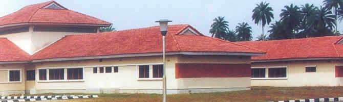
From the Gallery
 |
|
|
|
|
|
|
|
Copyright © 2012 Government of Akwa Ibom State |
|